Log in
All resources
Create a design
172 Free Images of Maps Made In The 18th Century
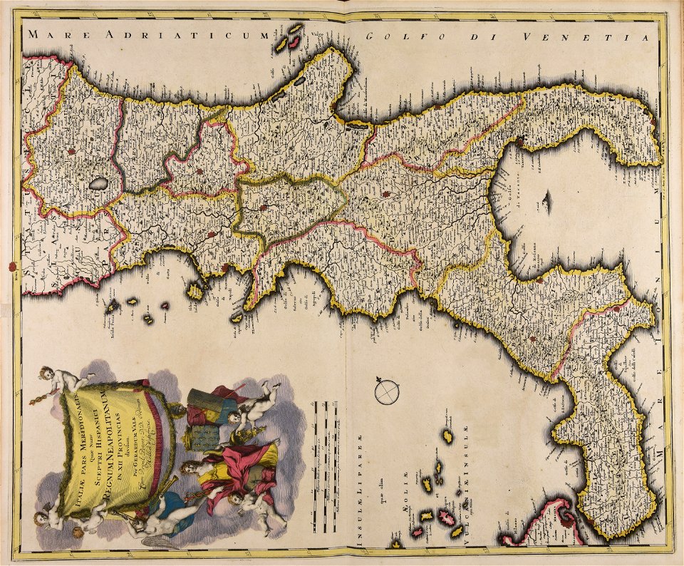
atlantis magni tomus primus (biblioteca comunale di trento)
pieter schenk (i)
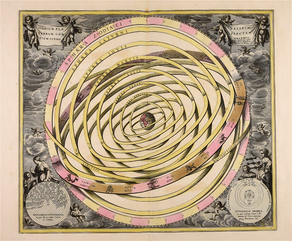
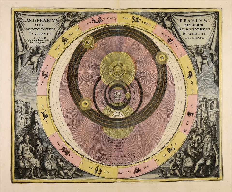
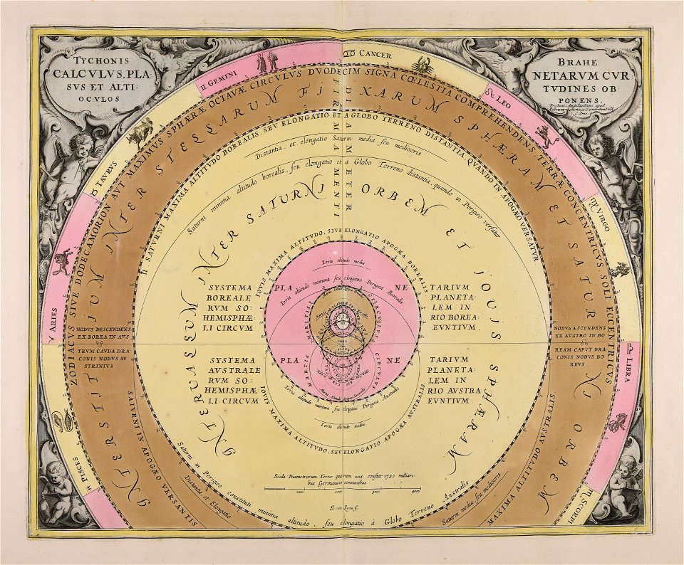
old celestial maps
atlantis magni tomus quintus (biblioteca comunale di trento)
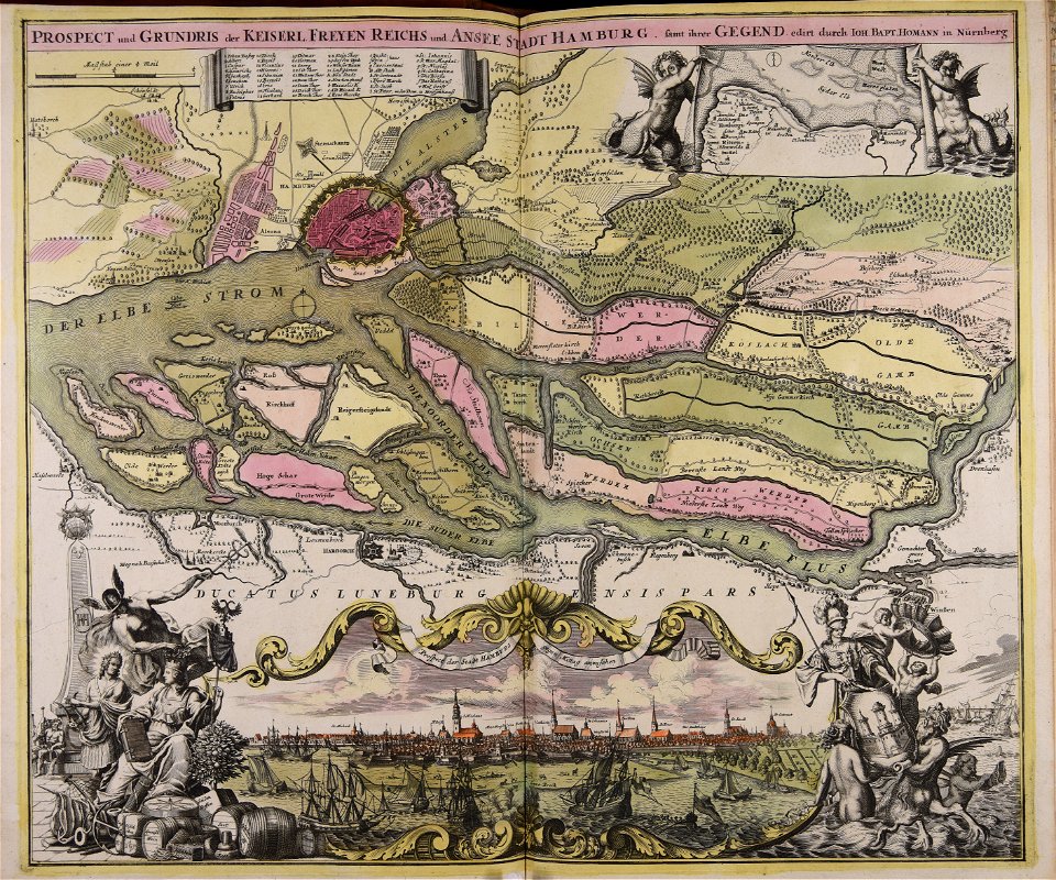
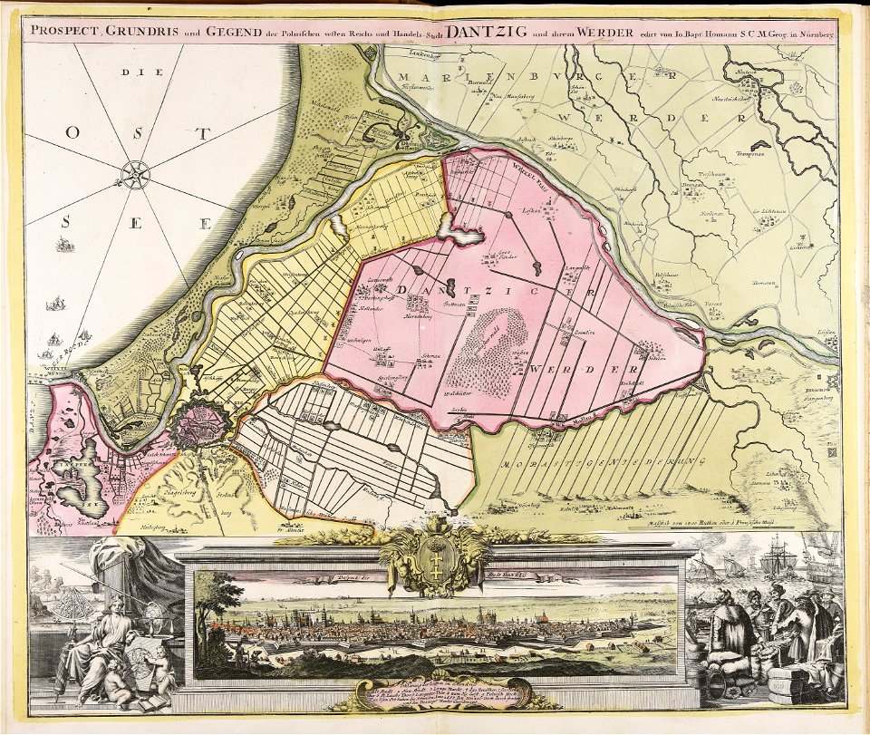
johann baptist homann
gerard valck
cellarius harmonia macrocosmica
old maps of europe
18th-century engravings
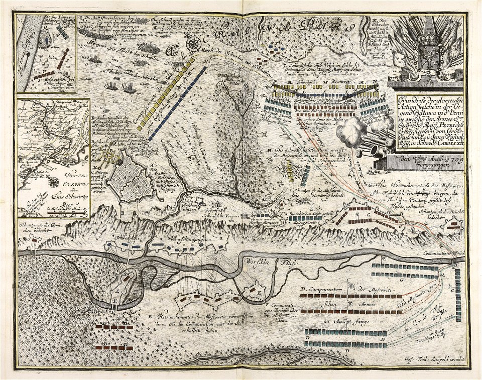
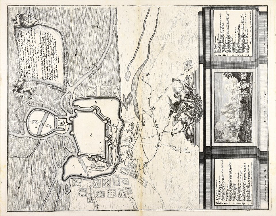
war of the spanish succession
maps made in the 18th century
old maps of europe
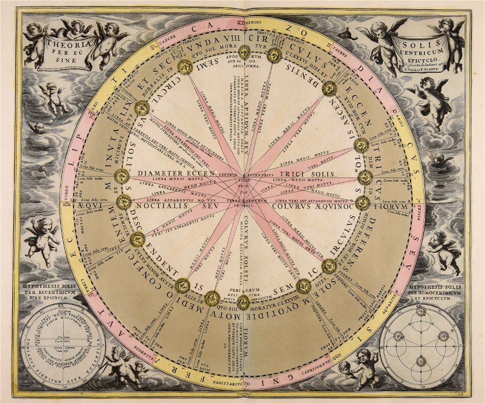
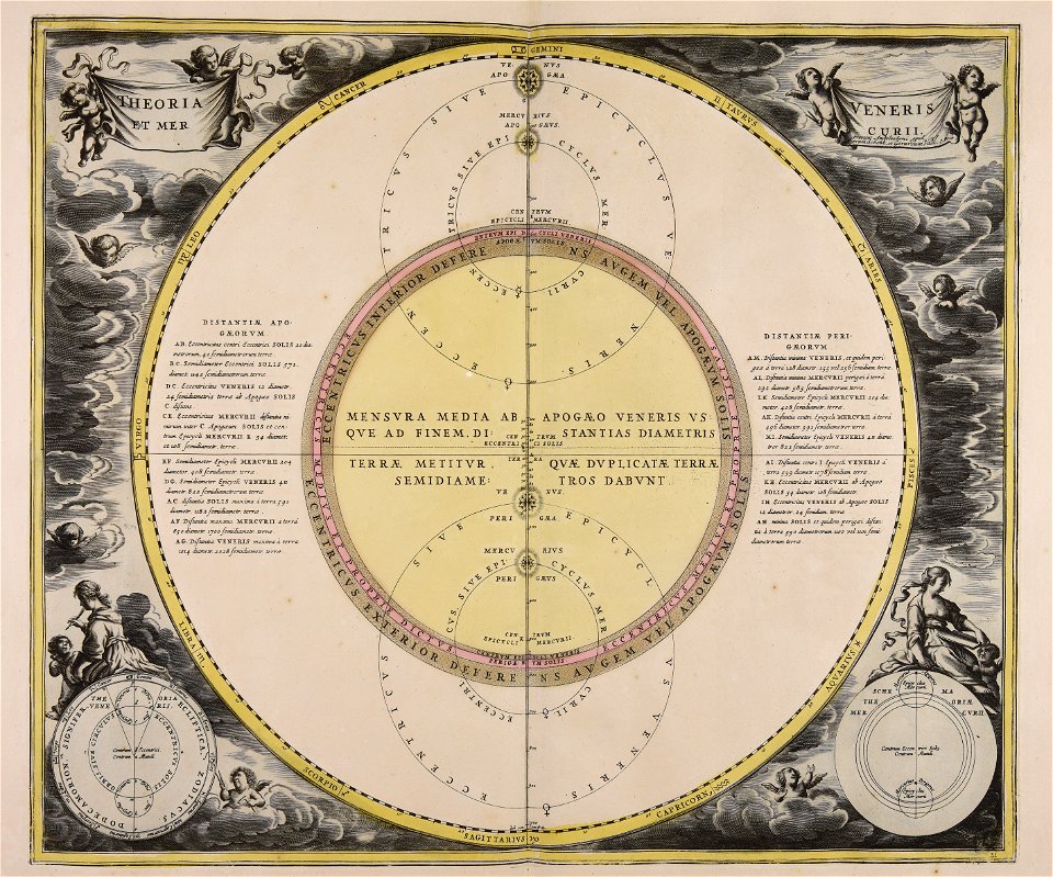
sistema solar
gerard valck
maps made in the 18th century
terra santa
maps made in the 18th century
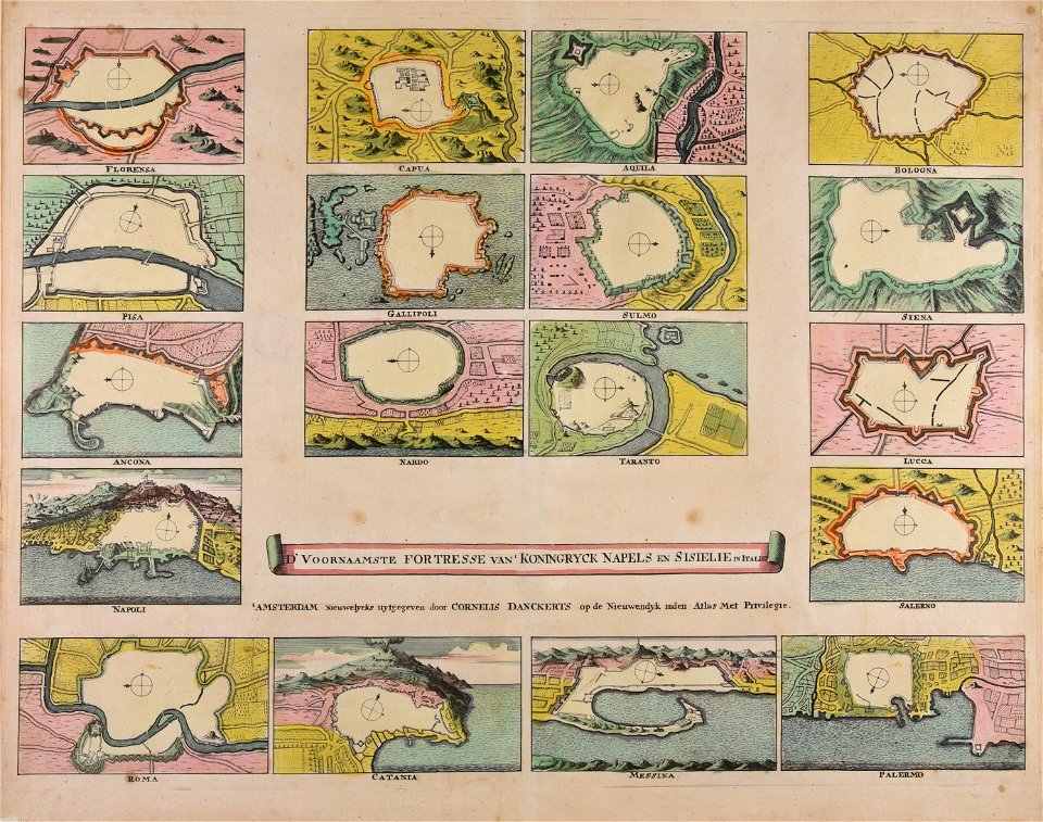
cornelis danckerts (i)
maps made in the 18th century
maps by pieter schenk (i)
atlantis magni tomus quintus (biblioteca comunale di trento)
maps made in the 18th century
johann baptist homann
maps
atlantis magni tomus primus (biblioteca comunale di trento)
maps made in the 18th century
topographic maps made in 18th century
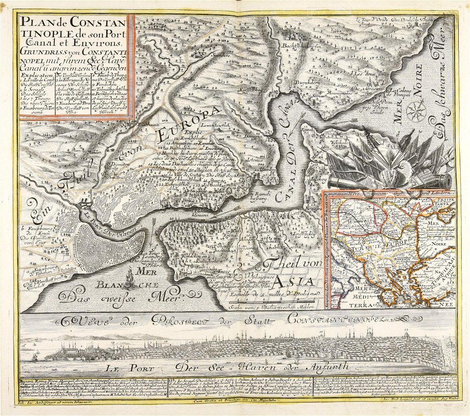
constantinople
maps made in the 18th century
old celestial maps
maps made in the 18th century
gerard valck
johann baptist homann
1717
maps made in the 18th century
gerard valck
johann baptist homann
sistema solar
maps made in the 18th century
maps by pieter schenk (i)
maps made in the 18th century
18th-century engravings
maps made in the 18th century
18th-century engravings
maps made in the 18th century
18th-century engravings
maps made in the 18th century
18th-century engravings
maps made in the 18th century
18th-century engravings
maps made in the 18th century
18th-century engravings
maps made in the 18th century
18th-century engravings
maps made in the 18th century
18th-century engravings
maps made in the 18th century
18th-century engravings
maps showing history
corfu
maps made in the 18th century
johann baptist homann
maps made in the 18th century
gerard valck
maps showing history
corfu
gerard valck
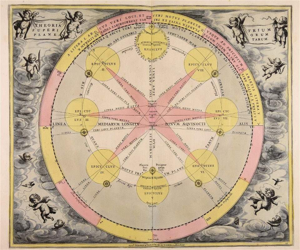
moti
maps made in the 18th century
gerard valck
johann baptist homann
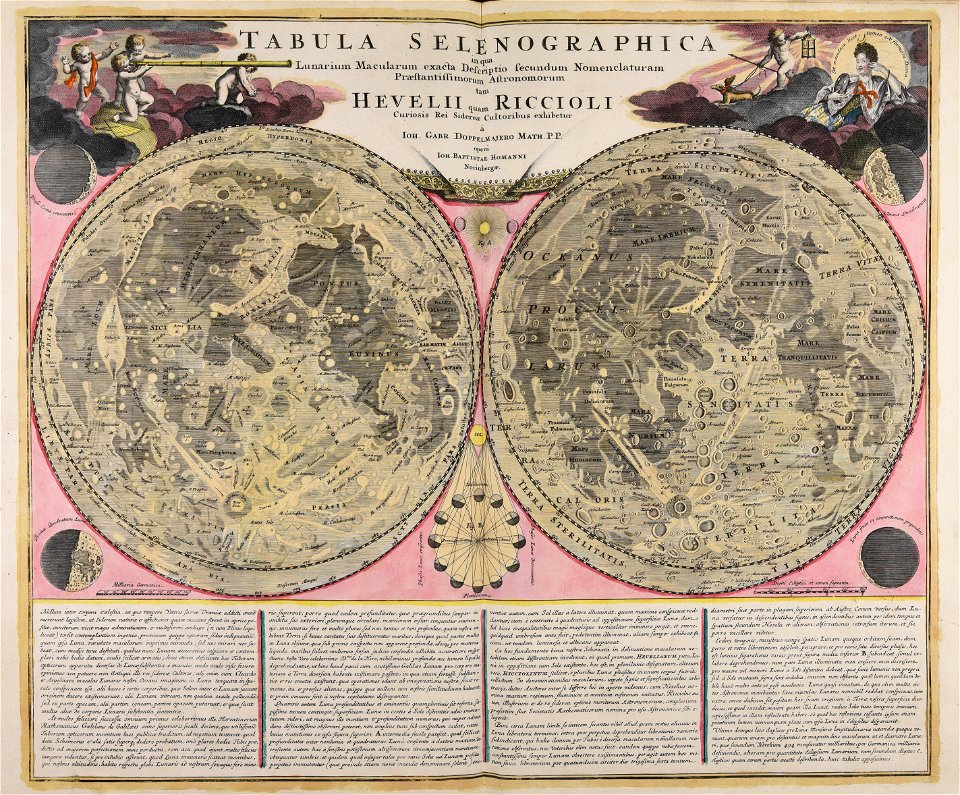
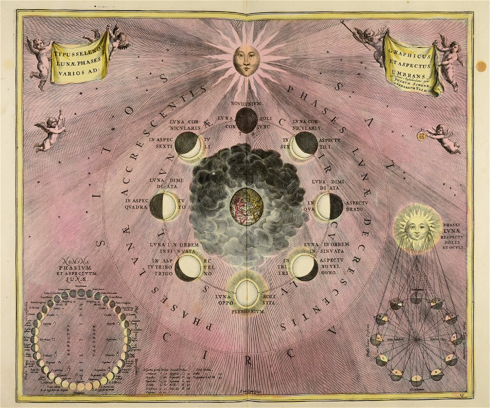
moon
gerard valck
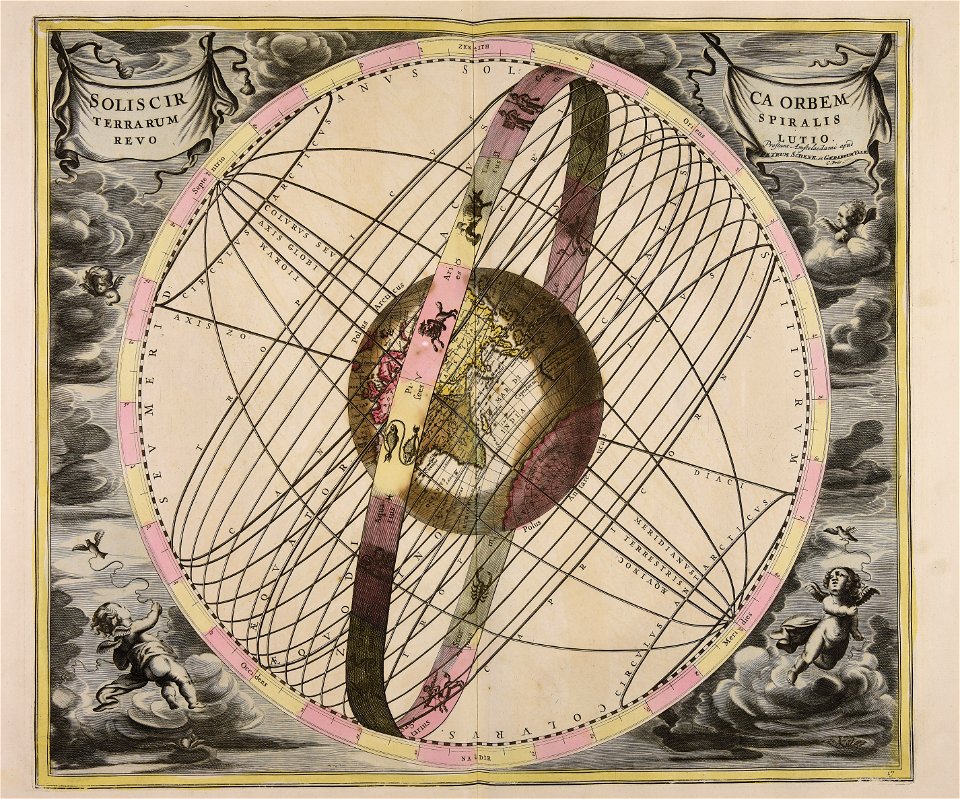
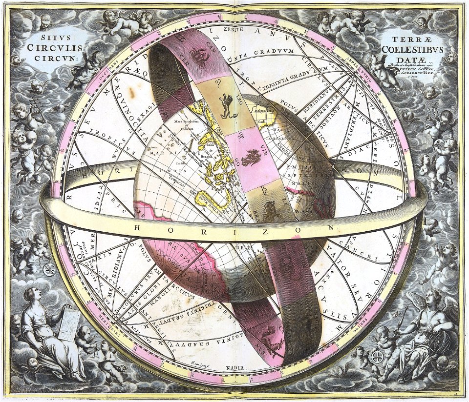
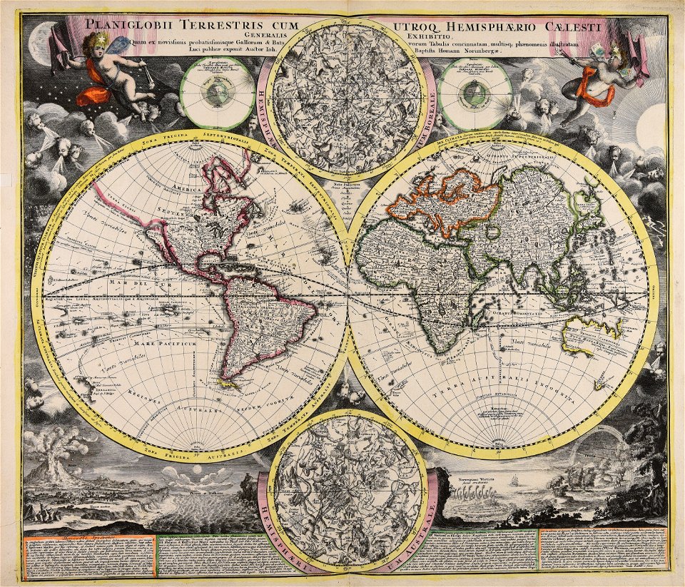
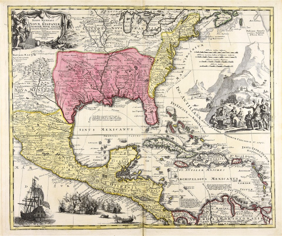
earth
gerard valck
earth
hatched coats of arms
old maps of ireland
maps made in the 18th century
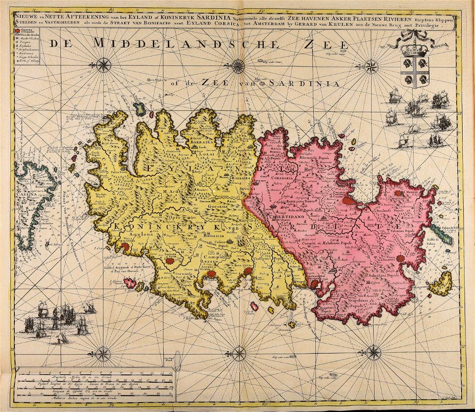
sardinia
cornelis danckerts (i)
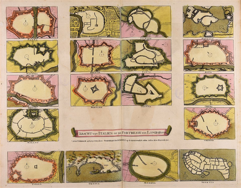
defensive walls
maps made in the 18th century
cornelis danckerts (i)
maps made in the 18th century
gerard valck
atlantis magni tomus quintus (biblioteca comunale di trento)
topographic maps made in 18th century
johann baptist homann
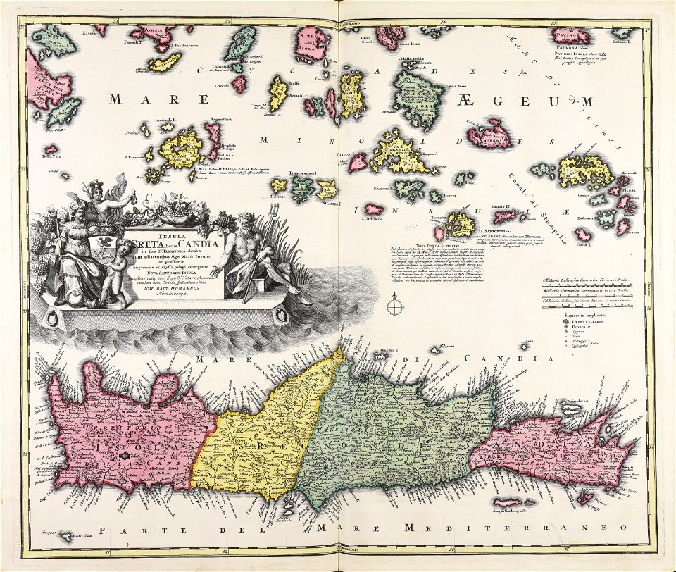
creta
johann baptist homann
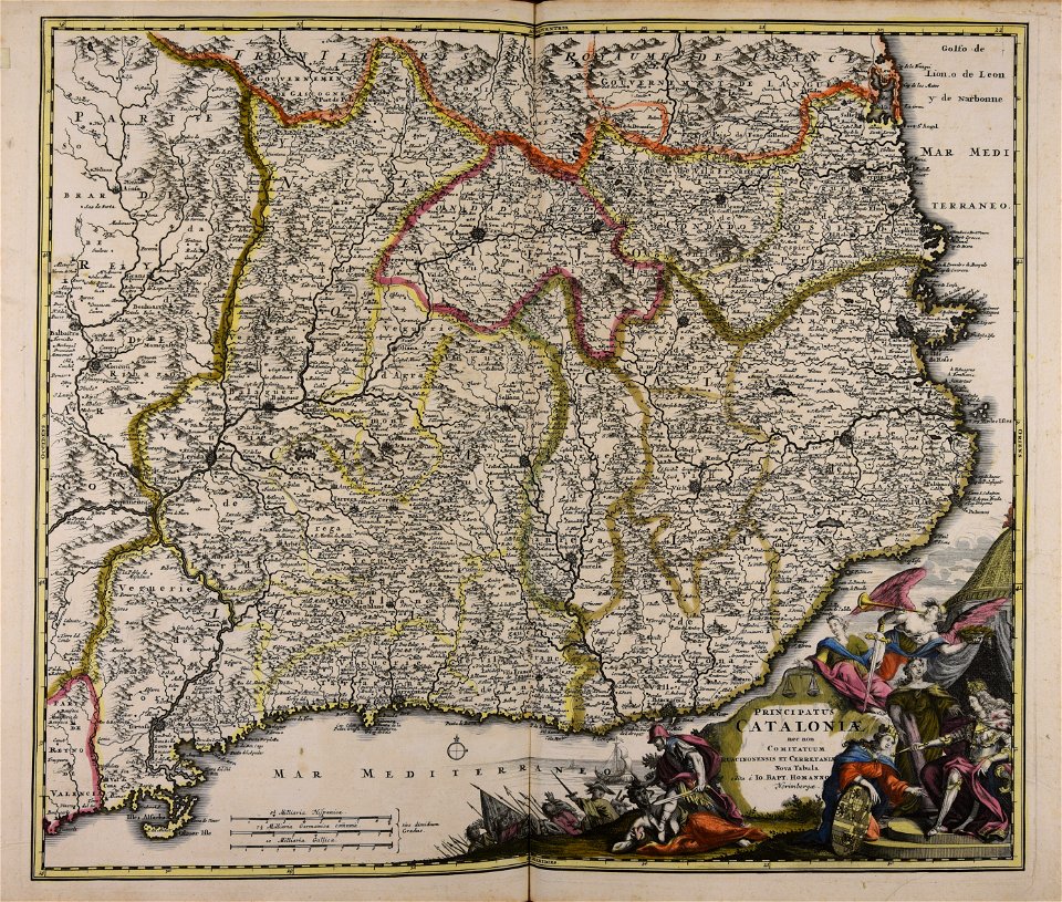
catalonia
maps made in the 18th century
gerard valck
johann baptist homann
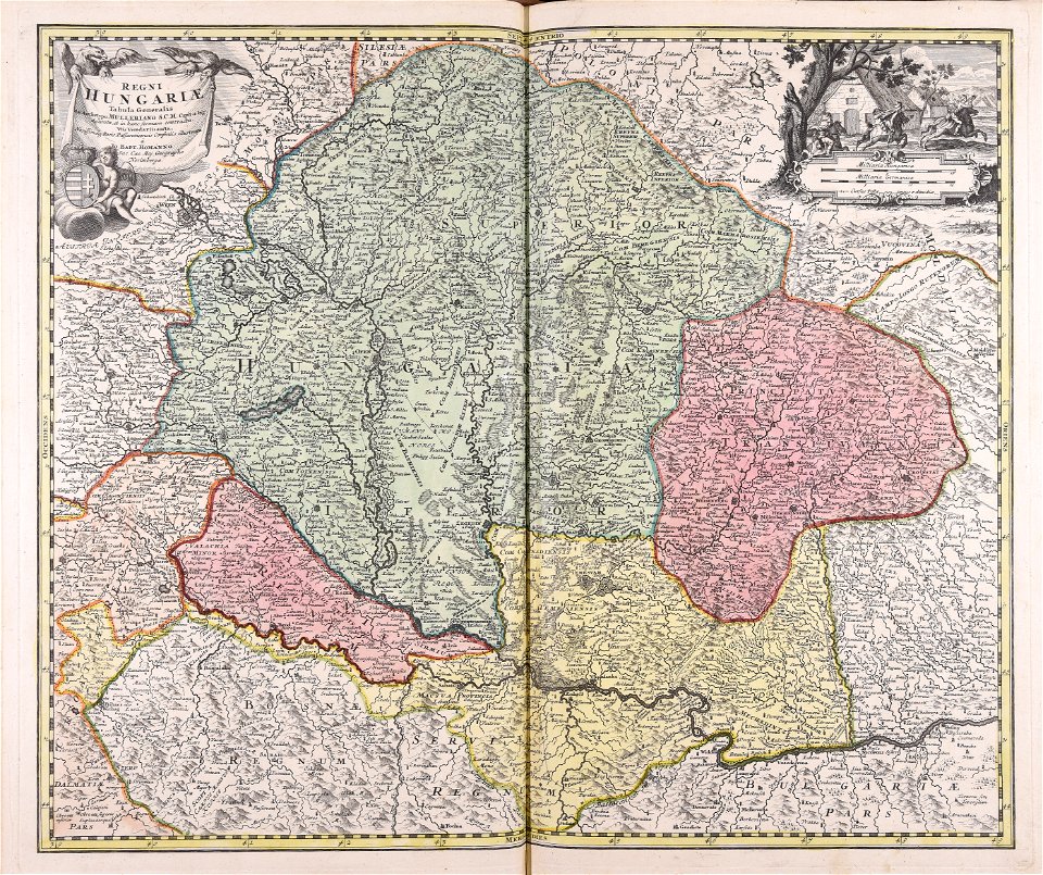
ungheria
johann baptist homann
earth
maps made in the 18th century
johann baptist homann
maps made in the 18th century
johann baptist homann
gerard valck
earth
maps made in the 18th century
gerard valck
maps made in the 18th century
gerard valck
gerard valck
moon
maps made in the 18th century
johann baptist homann
maps made in the 18th century
works by guillaume delisle
topographic maps made in 18th century
jeremias wolff
atlantis magni tomus quintus (biblioteca comunale di trento)
maps made in the 18th century
atlantis magni tomus quintus (biblioteca comunale di trento)
maps made in the 18th century
johann baptist homann
ungheria
maps made in the 18th century
gerard valck
gerard valck
moon
maps made in the 18th century
gerard valck
maps made in the 18th century
johann baptist homann
maps made in the 18th century
jeremias wolff
topographic maps made in 18th century
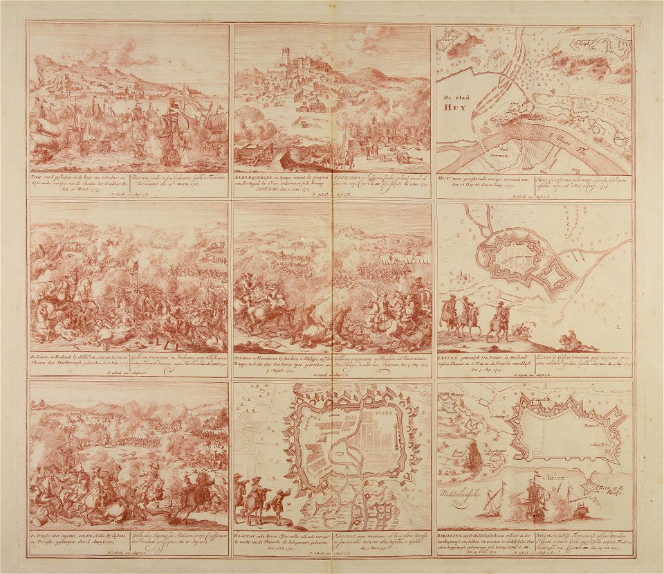
battaglia di malplaquet. 1709
maps made in the 18th century
gerard valck
maps made in the 18th century
johann baptist homann
old maps of nuremberg
johann baptist homann
topographic maps made in 18th century
jeremias wolff
maps made in the 18th century
johann baptist homann
maps made in the 18th century
gerard valck
maps made in the 18th century
johann baptist homann
historical
history
historical
history
historical
history
101 - 172 of 172
/ 2